
Research and Relationship Building in Malawi
Written by Rachel Hoops
Background
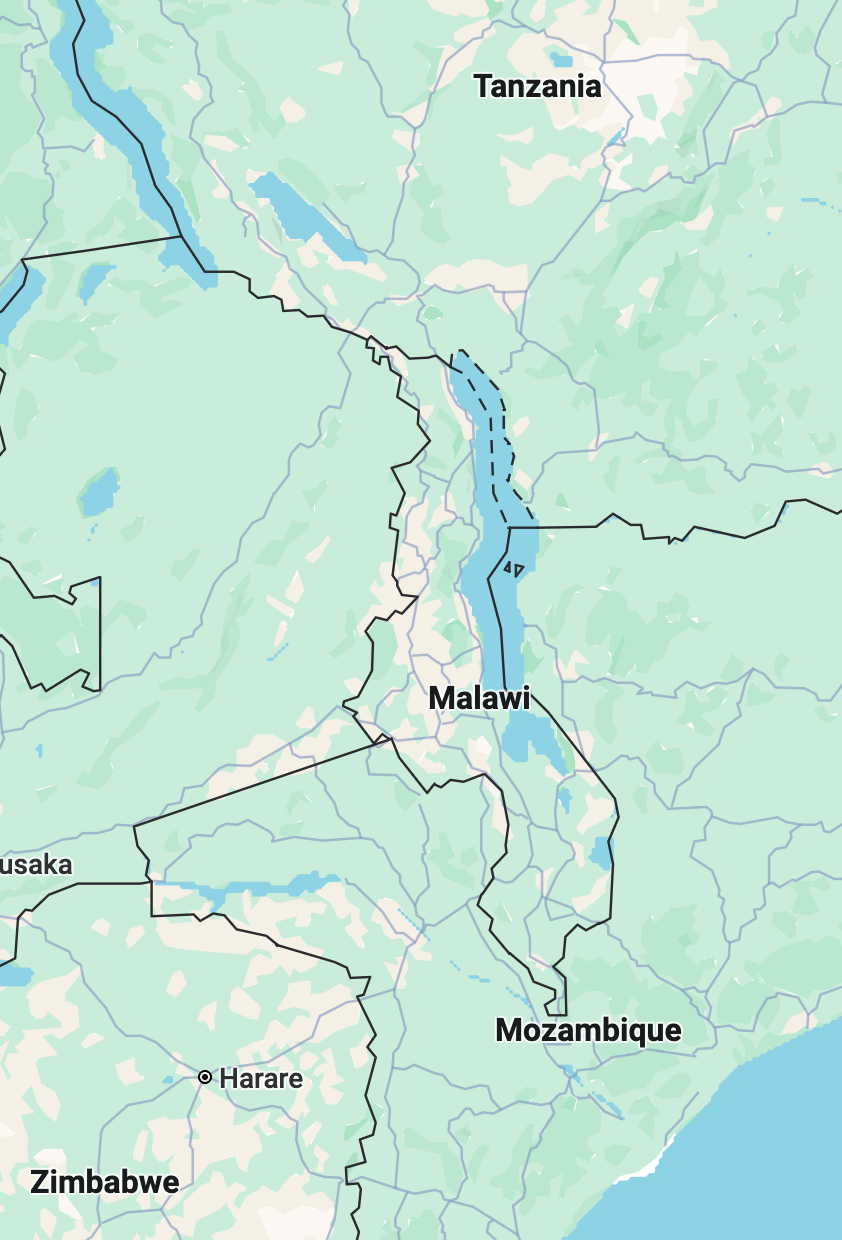
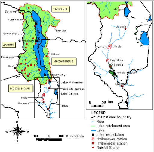
Malawi is among the poorest countries in the world and relies almost entirely on hydropower for electricity, yet only about 15% of the population has access to power, leaving the majority in the dark. To address this challenge, the government faces an urgent need to expand hydropower capacity and strengthen water forecasting systems, ensuring a more reliable and resilient energy supply that supports both the population and community livelihoods. Lake Malawi, shared by Malawi, Mozambique, and Tanzania, serves as the primary water reservoir in the system and has only one outlet, the Shire River. Water from the lake flows into the Shire River through the Liwonde Barrage, which regulates outflow to a maximum of 900 m³ per second. This controlled flow is critical because it directly influences downstream hydropower generation, particularly at the Nkula Hydropower Station, highlighting the interconnectedness of lake levels, river flow, and energy production.

Objectives
This summer 2025, the Global Center led a research mission in Malawi with three main objectives. First, the team aimed to support the government’s request for improved lake level forecasting to better manage Lake Malawi and surrounding water resources. Second, the mission sought to understand water governance and community needs across Malawi, Mozambique, and Tanzania, including decision making processes for Lake Malawi and how local communities use and manage water from the lake and nearby water bodies. Third, the project focused on transferring, customizing, and expanding tools and partnerships to strengthen long term forecasting expertise. Throughout the mission, the team concentrated on transboundary cooperation, hydropower operations, and local water use and flood management.
Methods
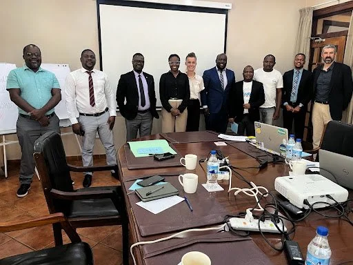
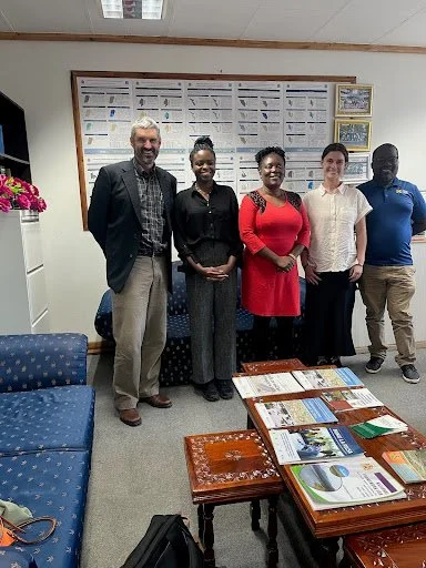
The mission engaged a wide range of stakeholders across Malawi, the mission’s approach began with carefully listening to stakeholders’ challenges and priorities, followed by multi-day meetings and field visits to these institutions and organizations to inform collaborative efforts in water management and forecasting. The mission engaged a wide range of Groups as follow:
Malawi National Agencies
National Water Resources Authority (NWRA)
the Department of Water Resources (DWR)
Department of Climate Change and Meteorological Services (DCC&MS
We met with Dr.Dwight Kambuku the CEO of NWRA and his cabinet in Lilongwe, Malawi.

Meeting with DCC&MS Meteorologist and weather anchor Tapiwa Mdhluli Khutakumutu, who explained how her team collects and analyzes atmospheric data for forecasts. She also shared that, due to limited resources and frequent blackouts, weather reports are pre-recorded for later broadcast. The picture was taken inside the studio.
We met Dr. Lucy Mtilatila, the Director of the Department of Climate Change and Meteorological Services (DCC&MS) at their Headquarters in Lilongwe, Malawi. Her department is in charge of collecting meteorological data sets.
Universities and NGOs
Lilongwe University of Agricultural and Natural Resources (LUANAR)
Malawi University of Business and Applied Sciences (MUBAS)
Leadership for Environment and Development (LEAD)
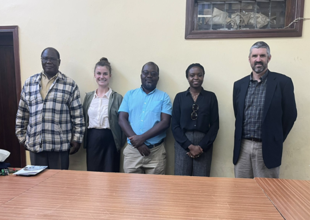
We met with Dr. Geffrey Chavula, ACARE member, professor from MUBAS University
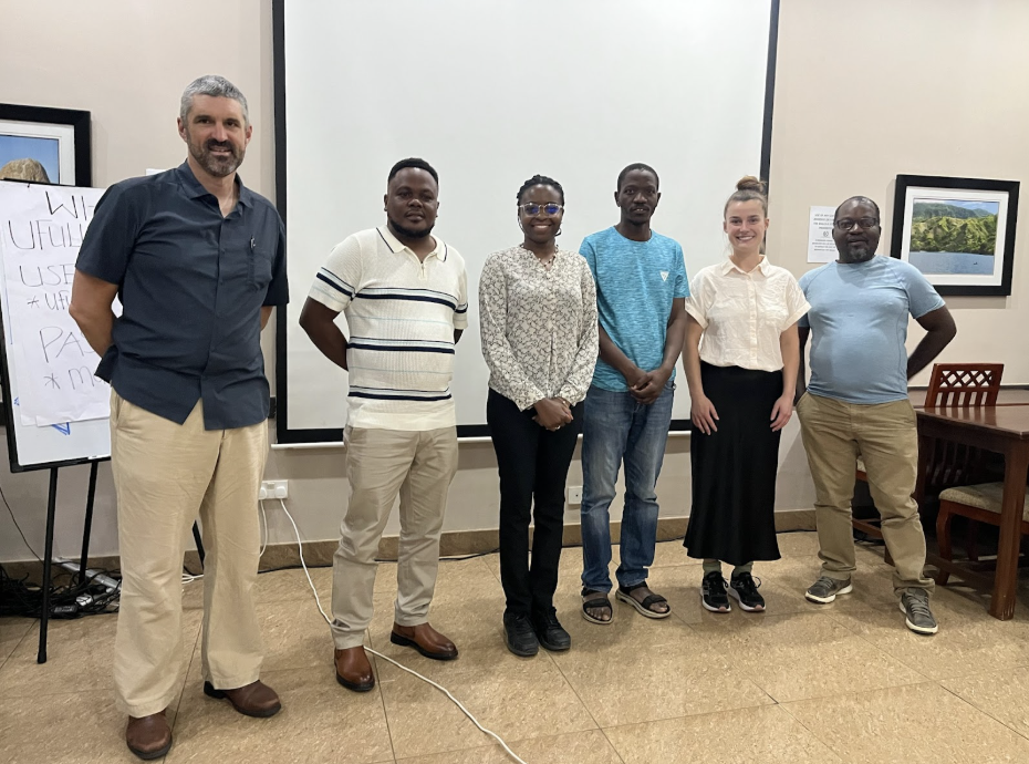
We met Dr. Evance Chaima & Dr. Lameck Fiwa, professors from LUANAR university

We met Dr. Patric Likongwe (LEAD representative)
Management Infrastructure Experts
Nkula Hydropower Station
Liwonde Barrage
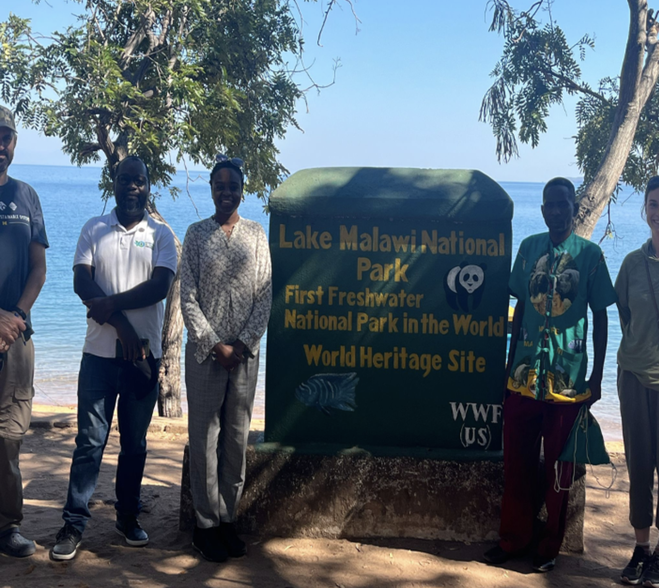
Malawi National Park

Nkula A Hydropower Station. We met Joseph Nkhata, Assistant Mechanical Maintenance Engineer at EGENCO, who explained the step-by-step process of electricity generation.
Findings and Challenges:
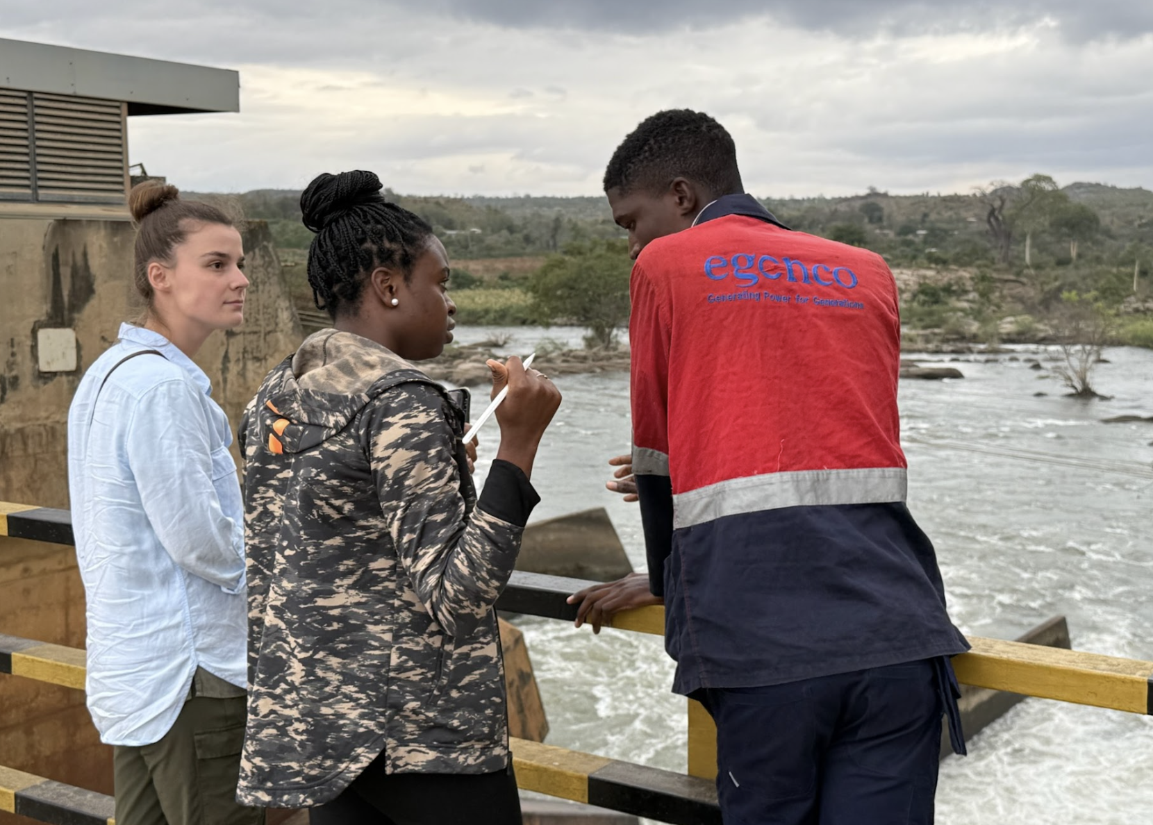
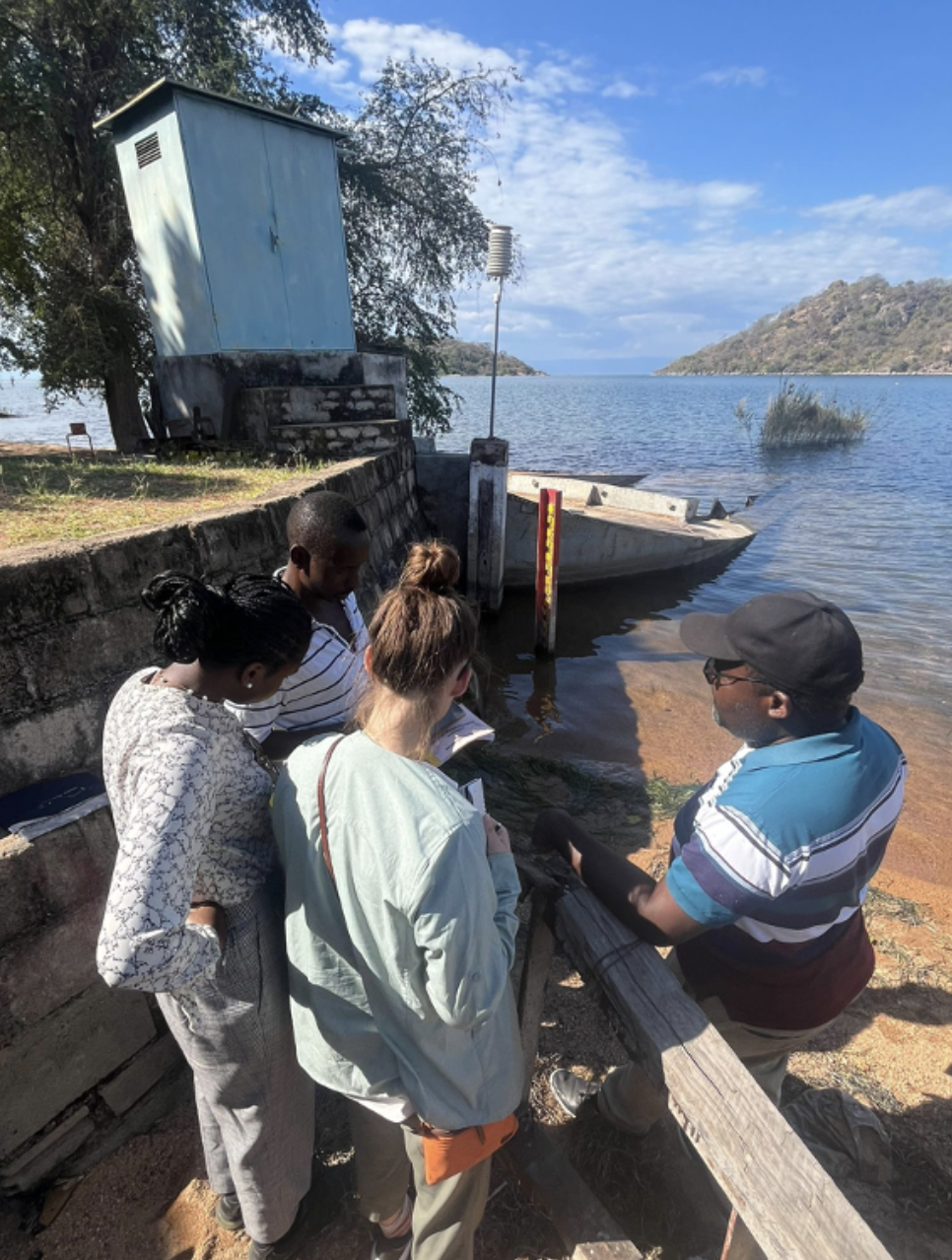
Our research in Malawi identified several key challenges in water management and hydropower production. Data collection relies on two main methods: a manual system, where water levels are observed and recorded by hand, and an automated system with submerged sensors, which is often non-operational due to battery charging issues. When field officers are unavailable or the sensors are not working, gaps appear in the historical water level records, limiting the accuracy of data for forecasting and management. We met with a DWR field officer, who explained how water levels are measured using shore/in water meter rules. Data is recorded manually in a logbook, photographed with location coordinates, and sent to DWR.
Lake Malawi’s water levels are strongly influenced by floods and droughts. Flooding has displaced communities, harmed ecosystems, disrupted farming, damaged infrastructure, and expanded crocodile habitats into expanding their habitants. Conversely, drought events have led to the collapse of fisheries, reduced hydropower generation, and agricultural losses.
Ecological Impacts
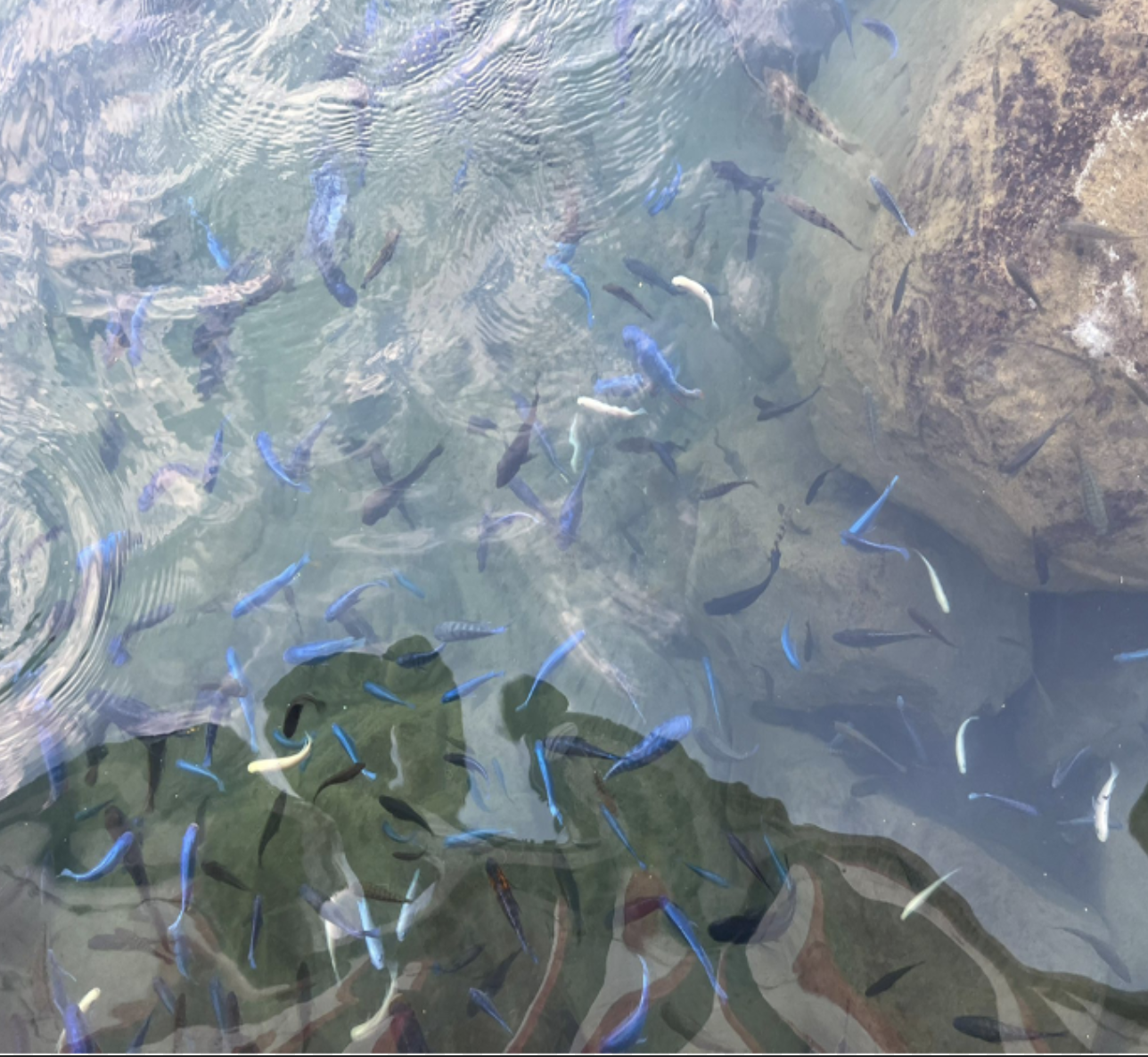
We met with Officer Joja Jonah and explained that high water levels affect the unique Mbuna species, which can only be found in Malawi. The government lacks diving equipment to monitor them underwater.
Hydropower and modeling
Malawi’s electricity supply is constrained. In 2025, three hydropower stations along the Shire River; Nkula, Tedzani, and Kapichira; generate approximately 450 megawatts, accounting for about 90% of the country’s electricity, while national demand is around 800 megawatts. A fourth station, Mpatamanga, is planned to provide an additional 350 megawatts of capacity in the future. These findings underscore the interconnected challenges of water variability, data limitations, and insufficient energy supply, highlighting the urgent need for improved forecasting, infrastructure, and management strategies.
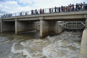
Operations at the Kamuzu Barrage in Liwonde are limited by both the current models and political pressure on how the gates are opened. The existing model, called the Barrage Operational Model, is too rigid. It cannot handle extreme weather, include rainfall from upstream areas, or take into account water from other countries, which makes it harder to manage water flow and hydropower properly.
Model Limitations at Liwonde Barrage: At Liwonde Barrage, operators must keep the water outflow at 900 m³/s across 14 gates, but their model is limited because it does not account for rainfall or runoff. This makes it hard to know when to open or close the gates: closing too soon floods upstream communities, while closing too late reduces water for hydropower, which supplies about 450 MW to only 15% of Malawi’s population. Allowing flows of more than 900 m³/s cause floods down stream communities. Many people also do not understand that the total outflow matters more than how many gates are open, so to avoid public complaints, operators now open all gates at the same level.
Conclusions and Next Steps
The mission concluded with a shared vision for collaboration, including three key steps: establishing formal partnerships through Memorandum of Understandings (MOUs) and joint dataset and model development; designing, testing, and deploying a Lake Malawi Forecasting Dashboard; and co-authoring peer-reviewed publications on transboundary hydrology and forecasting. Together, these efforts aim to strengthen institutional alignment, expand forecasting capacity, and support inclusive, transboundary water governance across the African Great Lakes region.

QR CODE 1: To learn more about how their model (KABOM: Kamuzu Barrage Operation model) work
Title: A stochastic Hydrological Model for Regulation of Lake Malawi Shire River System

QR CODE 2 : To learn how we have used L2SWBM on Great lakes
Title: Reconciling the water balance of large lake systems

QR CODE 3: To learn how we have used L2SWBM on Mono lake
Title: Differentiating Diversions and Drought to Understanding Drivers of Water Loss from a North American Terminal Lake